
Geography of Burundi
Burundi is a landlocked country in East Africa, situated to the east of the Democratic Republic of the Congo. It lies at the coordinates 3°30′S 30°0′E and covers a total area of 27,830 square kilometers (10,750 sq mi), of which 25,680 square kilometers (9,920 sq mi) is land.
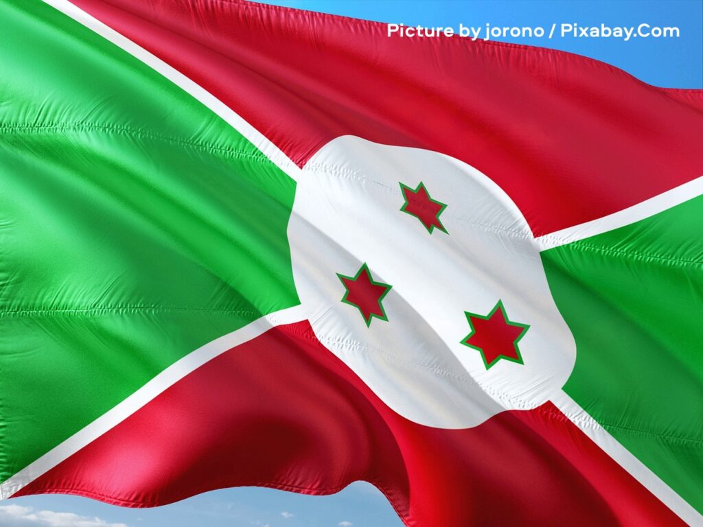
A vibrant flag waves dynamically against a clear blue sky, its fabric rippling with realistic folds and creases that catch the light. This is the national flag of Burundi, featuring bold sections of green and red divided by crisp white diagonal stripes forming a cross, while at the center a white … Continue