Cape Verde is an archipelago of arid volcanic islands in the mid-Atlantic Ocean, located approximately 450 km (280 mi) off the west coast of Africa. The islands feature dramatic landscapes ranging from dry coastal plains and sandy deserts to steep cliffs and active volcanoes. With a total area of 4,033 km² (1,557 sq mi), the country has a hot, arid climate shaped by trade winds and its position near the Sahara.
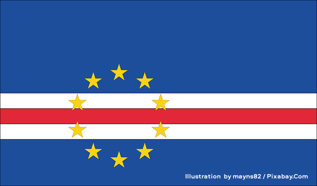
the image above shows the national flag of Cabo Verde(also called Cape Verde), featuring a deep blue field divided horizontally by a central white-red-white striped band. Ten yellow five-pointed stars are arranged in a circular pattern on the left side of the flag, with some stars positioned above the stripes in the blue field and others overlapping the white and red bands. Illustration by mayns82 / Pixabay.Com.
The islands
The archipelago comprises ten main islands and several smaller islets, traditionally divided into two groups based on their position relative to the prevailing northeast trade winds: the windward Barlavento (northern) islands and the leeward Sotavento (southern) islands.
Barlavento islands (total area: 2,239 km² / 864 sq mi):
Santo Antão, São Vicente, Santa Luzia (uninhabited), São Nicolau, Sal, and Boa Vista, plus the islets of Branco and Raso.
These northern islands lie directly in the path of the trade winds, making them generally windier and slightly drier. The western islands (Santo Antão, São Vicente, São Nicolau, Santa Luzia, and associated islets) are more rugged and volcanic, with steep mountains, deep valleys, and terraced agriculture where possible—Santo Antão is especially known for its dramatic landscapes, including the Cova crater and fertile Paul Valley. The eastern islands of Sal and Boa Vista are flatter, sandier, and more desert-like, with economies historically centered on salt production and now heavily reliant on international tourism and beach resorts. São Vicente stands out as a cultural and economic hub, home to Mindelo, often called the cultural capital of Cape Verde.
Sotavento islands (total area: 1,803 km² / 696 sq mi):
Brava, Fogo, Santiago, and Maio, plus the barren Ilhéus do Rombo islets north of Brava.
Located farther south and somewhat sheltered from the strongest trade winds, these islands tend to be slightly warmer and, in some cases, receive marginally more influence from seasonal rains. The western trio (Brava, Fogo, and Santiago) features rocky, mountainous terrain ideal for agriculture; Santiago, the largest and most populous island, hosts the national capital Praia and supports diverse farming. Fogo is dominated by the active volcano Pico do Fogo (2,829 m / 9,281 ft), the highest point in the country. Brava is small, steep, and known for its lush valleys. Maio, the easternmost, is flatter and more arid, sharing characteristics with Sal and Boa Vista, including historical salt production.
Three islands—Sal, Boa Vista, and Maio—are generally low-lying and lack reliable natural freshwater sources. Higher elevations exceeding 1,280 m (4,199 ft) occur on Santiago, Fogo, Santo Antão, and São Nicolau.
Landscape and erosion
Strong winds carry sand across the islands, accelerating erosion, particularly on windward slopes. Many mountainous islands feature sheer, jagged cliffs rising dramatically from the sea. Upland and coastal areas often have sparse vegetation, which further contributes to soil loss, while interior valleys support denser plant life.
Climate and rainfall
Cape Verde experiences irregular rainfall, which has historically led to severe droughts and famines. Annual precipitation in Praia averages about 240 mm (9.45 in). Most rain falls between August and October, often in intense bursts where a single storm can account for a large portion of the year’s total. A secondary, lighter influence from northeast trade winds affects higher elevations (above ~600 m) from December to June.
Desalination plants now supply water to more than half the population, supplemented by limited fog-collection experiments. Saharan dust and the Harmattan wind frequently haze the skies from November to March. Despite occasional dust storms, sunny days dominate year-round, with the clearest conditions typically from February to June.
The islands lie near a zone of tropical cyclone formation. Storms that develop here—known as Cape Verde-type hurricanes—often become highly intense as they track westward across the warm Atlantic, though direct hits on the islands remain relatively rare.
Orographic effects and vegetation
Mountainous islands create significant local climate variations. Northeastern (windward) slopes receive more moisture through orographic lift, fostering cooler, wetter conditions. These “umbria” areas—north-facing slopes shaded from intense sun—support pockets of luxuriant vegetation, including remnants of laurel and cloud forests. Fog and dew from trade winds condense on higher elevations, providing vital moisture.
In contrast, southwestern slopes are drier. The cold Canary Current moderates air temperatures, while the absence of coastal upwelling (unlike mainland West Africa) keeps sea temperatures relatively warm. Overall forest cover stands at around 11% (approximately 45,720 hectares in 2020), with a mix of naturally regenerating and planted forests. The archipelago forms its own unique ecoregion: the Cape Verde Islands dry forests.
Wildlife
Despite the arid environment, Cape Verde hosts distinctive endemic species.
Birds: Four endemic species, most notably the critically endangered Raso Lark (Alauda razae), a small, heavy-billed lark confined almost entirely to the tiny, uninhabited Raso islet (with some recent translocations to Santa Luzia). It is one of the world’s rarest birds, with a population that fluctuates dramatically with rainfall—typically between roughly 1,000 and 1,600 individuals in favorable years—and nests on the ground in rocky or vegetated patches.
The islands are vital breeding grounds for seabirds, including the Cape Verde Shearwater (Calonectris edwardsii), a medium-large seabird endemic to the archipelago that forages off the coasts of West Africa. Its population, estimated in the low tens of thousands of pairs, faces pressure from chick harvesting.
Also notable is Fea’s Petrel (Pterodroma feae), a medium-sized gadfly petrel (also known locally as Gongon) that breeds in burrows and rock crevices on mountainous islands, laying a single egg and sharing incubation duties. It is a Near Threatened endemic with a restricted global range.
Santiago hosts the world’s only breeding population of the critically endangered Bourne’s Heron (Ardea purpurea bournei), also known as the Cape Verde Purple Heron. This distinctive, localized subspecies (sometimes treated as a full species) numbers only around 20–40 adults and is highly dependent on the island’s limited wetlands and coastal habitats.
Common species include swifts, larks, warblers, and sparrows.
Reptiles: Eleven endemic species, including the impressive Giant Gecko (Tarentola gigas), also known as the Giant Wall Gecko—one of the largest geckos in the world, reaching up to 15.5 cm (6.1 in) in snout-to-vent length. This nocturnal, Endangered species is endemic to São Nicolau and the uninhabited islets of Branco and Raso, where it inhabits rocky terrain and has a generalist diet that includes invertebrates, plants, and even seabird eggs or regurgitated food. Various other geckos and skinks are also present. The Giant Skink (Macroscincus coctei) is now considered extinct.
Cape Verde’s isolated volcanic islands showcase remarkable ecological adaptations, from drought-resistant plants to specialized animals thriving in a challenging Atlantic environment. Human activity has significantly altered habitats, but conservation efforts and reforestation continue to play an important role.